
Elevation 80 m | County Bartoszyce Population 70 Local time Thursday 11:32 PM | |
 | ||
Weather 2°C, Wind SW at 3 km/h, 94% Humidity Voivodeship Warmian-Masurian Voivodeship | ||
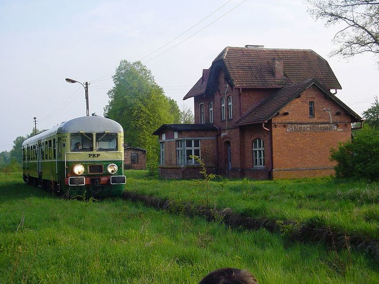
Kanie Iławeckie [ˈkaɲɛ iwaˈvɛt͡skʲɛ] (German: Salwarschienen) is a village in the administrative district of Gmina Górowo Iławeckie, within Bartoszyce County, Warmian-Masurian Voivodeship, in northern Poland, close to the border with the Kaliningrad Oblast of Russia. It lies approximately 6 kilometres (4 mi) south-east of Górowo Iławeckie, 18 km (11 mi) west of Bartoszyce, and 49 km (30 mi) north of the regional capital Olsztyn.
Map of Kanie I%C5%82aweckie, Poland
Before 1945 the area was part of Germany (East Prussia). Following World War II the native German populace was expelled and replaced by Poles.
The village has a population of 70.
References
Kanie Iławeckie Wikipedia(Text) CC BY-SA