
Country India District Medak PIN 502286 Elevation 493 m | State Telangana Time zone IST (UTC+5:30) Vehicle registration TS-23 Local time Friday 3:29 AM | |
 | ||
Weather 23°C, Wind W at 2 km/h, 52% Humidity | ||
'Kangti or Kangiti is a village and mandal in the Medak district of Telangana, India.
Contents
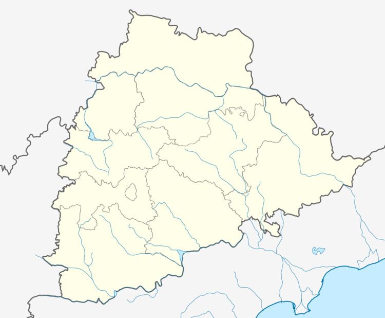
Map of Kangti, Telangana 502286
It is the most north-westerly mandal in Medak district. It is bounded by the Manoor, Narayankhed and Kalher mandals of Medak district and the Bidar district of Karnataka state.
Geography
Kangti is located at Latitude:18°13'23.13"N Longitude: 77°36'56.98"E. It has an average elevation of 493 metres (1620 ft).
Demographics
According to the 2001 Indian census, the demographic details of Kangti mandal are as follows:
The Kangti village had a population of 3,614 in 2001.
References
Kangti Wikipedia(Text) CC BY-SA