Telephone code 0481 Elevation 81 m Local time Friday 3:04 AM Area code 0481 | Time zone IST (UTC+5:30) Area 31.19 km² Literacy 96% Population 18,644 (2001) | |
 | ||
PIN 686541(pathanadu po),686555(kanjirappara) Weather 26°C, Wind E at 0 km/h, 87% Humidity | ||
Kangazha (Malayalam: കങ്ങഴ) is a panchayath and village in the Changanacherry Taluk of the Kottayam District of Kerala State in India. It is located 21 kilometers east of Kottayam. It lies midway between the backwaters of Western Kerala and the misty mountains of the Western Ghats.
Contents
Map of Kangazha, Kerala
Adjacent areas
The nearest railway stations are Kottayam (21 km) and Changanacherry (22 km), and the nearest airport is Cochin Airport (Nedumbasserry) about 100 km away. Kangazha is on the Changanassery - Vazhoor state highway which joins Kottayam - Kumaly NH at Pulickalkavala on the north side and on the Karukachal Manimala road on the east side.
Etymology
Kanva,the father of Shakuntala had visited Kangazha and he stoned the Sivalinga in Kangazha. And thus the term Kanvaya which was referred to point this incident become the name of this village and later Kanvaya had reestablished as Kangazha.
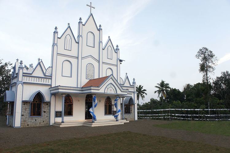
Kangazha Mahadeva Temple (Temple of Lord Shiva) Pathanadu Kavu Bhagawati Temple Elamkavu Sri Bhadrakali Temple Uma-Maheswar Temple, Edayarikapuzha
Places of worship
Economy
The economy of Kangazha is primarily from agriculture. Kangazha is one of the rubber producing villages in Kerala because the hilly terrain, high humidity and good rain make it suitable for rubber cultivation. Other major crops are coconut, tapioca and pepper. NRIs are also another major source of income.
