
Country United States County Kane Time zone CST (UTC-6) Elevation 259 m Local time Saturday 1:00 PM | State Illinois Established November 6, 1849 ZIP codes 60119, 60151 Area 90.99 km² Population 1,264 (2010) | |
 | ||
Weather 4°C, Wind NW at 24 km/h, 68% Humidity | ||
Kaneville Township is one of sixteen townships in Kane County, Illinois, USA. As of the 2010 census, its population was 1,264 and it contained 508 housing units.
Contents
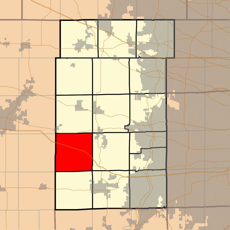
- Map of Kaneville Township IL USA
- Geography
- Cities towns villages
- Unincorporated towns
- Cemeteries
- School districts
- Political districts
- References
Map of Kaneville Township, IL, USA
Geography
According to the 2010 census, the township has a total area of 35.13 square miles (91.0 km2), of which 35.11 square miles (90.9 km2) (or 99.94%) is land and 0.02 square miles (0.052 km2) (or 0.06%) is water. The township is divided roughly into northern and southern halves by Interstate 88.
Cities, towns, villages
Unincorporated towns
(This list is based on USGS data and may include former settlements.)
Cemeteries
The township contains these three cemeteries: Gardner, Kaneville and Old Saint Mary's.
School districts
Political districts
References
Kaneville Township, Kane County, Illinois Wikipedia(Text) CC BY-SA