
Length 22 km Country Germany | - elevation 1,000 m (3,281 ft) - elevation 250 m (820 ft) | |
 | ||
Similar Kander Valley Railway, Rhine, Sausenburg Castle, Blauen, Schloss Bürgeln | ||
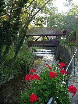
The Kander is a small river flowing from the southern Black Forest westward into the Rhine River
Contents
Map of Kander, Germany
GeographyEdit
The Kander rises at the head of the Kandertal on the Blauen in the Black Forest. Within the first 10 km of its course to Kandern, the Kander loses 650m of elevation. The stream has a total length of 22 km and a drop of 750m to its mouth on the Rhine near the town of Märkt
HistoryEdit
The name Kander comes from the Celtic word kandera, meaning clear flowing.
Transport usesEdit
Due to the stream's small size it has no transportation function.
References
Kander (Germany) Wikipedia(Text) CC BY-SA