
Time zone IST (UTC+5:30) Elevation 131 m Population 1,965 (2011) | 2011 census code 551678 Local time Saturday 10:14 PM ISO 3166 code ISO 3166-2:IN | |
 | ||
Weather 26°C, Wind W at 10 km/h, 61% Humidity | ||
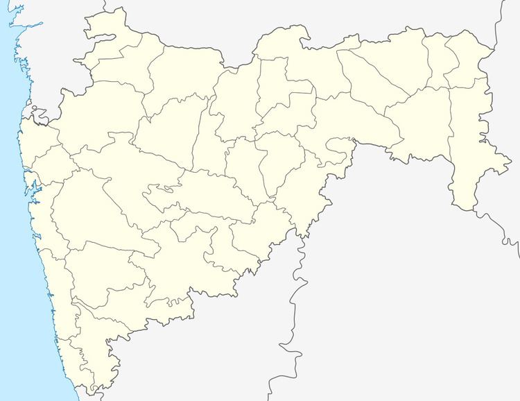
Kandarwadi is a village in the Palghar district of Maharashtra, India. It is located in the Dahanu taluka.
Contents
Map of Kandarwadi, Maharashtra
Demographics
According to the 2011 census of India, Kandarwadi has 335 households. The effective literacy rate (i.e. the literacy rate of population excluding children aged 6 and below) is 22.74%.
References
Kandarwadi Wikipedia(Text) CC BY-SA