
Postal code 33400 Elevation 30 m Area code 0324 | Time zone EET (UTC+2) Licence plate 33 Population 549 (2012) | |
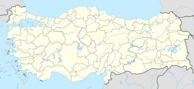 | ||
Kamberhöyüğü is a village in Tarsus district of Mersin Province, Turkey. It is situated at 36°58′N 35°02′E in Çukurova (Cilicia of the antiquity) to the east of Tarsus and to the north of Turkish state highway . It is also a stop on railroad. Its distance to Tarsus is 12 kilometres (7.5 mi) and to Mersin is 35 kilometres (22 mi). The population of Kamberhöyüğü was 549 as of 2012. Kamberhöyüğü is known as the location of the clash during the War of Turkish Independence on 27 July 1920 in which French forces defeated local milita.
Map of Kanberh%C3%BCy%C3%BC%C4%9F%C3%BC, Kanberh%C3%BCy%C3%BC%C4%9F%C3%BC Mahallesi, 33400 Tarsus%2FMersin Province, Turkey
References
Kanberhüyüğü Wikipedia(Text) CC BY-SA