
Country Philippines Barangays ZIP code 6531 Province Leyte | District 4th district of Leyte Time zone PST (UTC+8) Area 144.2 km² Local time Saturday 11:35 PM | |
 | ||
Region Eastern Visayas (Region VIII) Weather 25°C, Wind NE at 10 km/h, 79% Humidity Neighborhoods Aquiting, Sto Niño, Libungao | ||
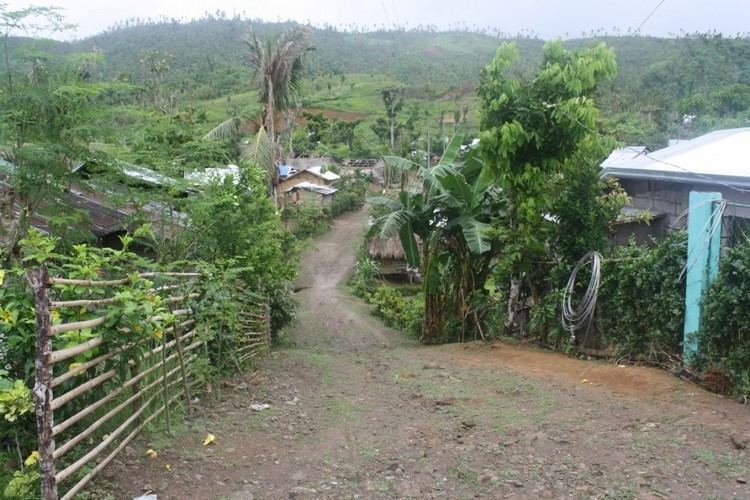
Kananga or Kanaŋga is a 1st class municipality in the province of Leyte, Philippines. According to the 2015 census, it has a population of 56,575 people.
Contents
Map of Kananga, Leyte, Philippines
Majority of Kananga's economic activity has historically been concentrated in agriculture. Some are engaged in commerce and trade since the town is geographically close to commercially progressive nearby city, Ormoc City and coastal town of Palompon, Leyte. The town's main crops are coconut (niyog) and rice (palay).
Kananga was created in 1950 from the barrios of Lonoy, Kananga, Rizal, Tugbong, Montebello, Aguiting, Agayayan, Montealegre, Libungao, Naghalin, and Masarayag which all used to be part of Ormoc City.
On November 8, 2013, the town and all parts of Leyte was ravagedly hit by deadliest Typhoon Haiyan or Typhoon Yolanda as locally named, destroying town's infrastructure, houses and means of livelihood which are mostly related to agriculture of rice and coconut and small-scale pig farming.
Barangays
Kananga is politically subdivided into 23 barangays.
Education
Kananga is home to two different secondary schools, Kananga National High School (KNHS) and National Heroes Institute (NHI) as well as Kananga National High School- Kawayan Annex (Grade 7-10 in newly introduced K-12 program education in the Philippines situated on top of the picturesque view of the mountain in Sitio Estrada, where can easily walk through a newly cemented road by about a mile away from the main highway of Barangay Kawayan, which caters neighboring poor students from inland villages of San Isidro and Monteaglegre; and Kananga National High School - Libertad Annex, located in Barangay Libertad, which also caters neighboring students from inland villages. Another public high schools were open in Barangays Rizal and Montebello for the same purpose.
Jose Navarro Polytechnic College has small campus in Naghalin, Kananga Leyte that awards trade certificates and diplomas to students.
Infrastructure
Kananga is a bustling town, located along the highway, in close proximity to Ormoc City in the south.The town also shares a home to Energy Development Corporation's Tongonan Geothermal Powerplant, one of the largest geothermal powerplants in the Philippines.
Several bus companies including Philtranco and DLTBCo operate a bus depot in Manila and in Ormoc City, a few miles from Kananga. There are also quite few small jeepneys, van and buses route from and to Ormoc City and Tacloban City.
Kananga Leyte and neighboring towns and cities in Leyte are served by two commercial airports namely Daniel Z. Romualdez Airport located in Tacloban City, about 52 miles east of the town and local Ormoc Airport in neighboring Ormoc City, which has a connecting Cebu Pacific commercial flights to and from Cebu via Mactan-Cebu International Airport. Kananga can also be reached by sea through Ormoc City's major port where passenger ships and ferries such as Supercat Fast Ferry and OceanJet dock to and from Cebu City and Manila.
Kananga has remained relatively free of the chain stores franchises and strip-mall developments that are common in other towns of similar size, which lends to a distinct township.