
District Bargarh PIN 768030 | Time zone IST (UTC+5:30) Population 1,417 (2011) | |
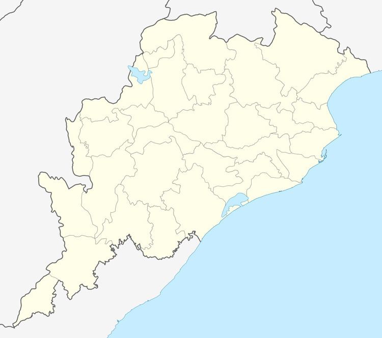 | ||
Kanak Bira is a village in Odisha, India. It is located in the Bhatli block of Bargarh district.
Contents
- Map of Kanak Bira Odisha 768030
- Education
- Panchayat High School Kanak Bira
- Upper Primary School
- Economy
- Health and Sanitation
- Connectivity
- References
Map of Kanak Bira, Odisha 768030
Education
Only one High school in this village serve the whole Panchayat of Kelendapali
Panchayat High School, Kanak Bira
Only unaided private high school, poorly aided teacher and infrastructure is not helping student around the area.
Upper Primary School
It is Vernacular language school.
Economy
Agriculture is the major source. Some people engage in daily labourer for a living. Agriculture is not advancing due to lack of irrigation facility.
Health and Sanitation
Government funded water supply system was running since 2011. People still use traditional way of bathing at unhygienic pond.
Connectivity
Pradhan Mantri Gram sadak Yajna road is connected to nearest town Bhatli. Telecommunication service is advancing and internet user are increasing.
References
Kanakbira Wikipedia(Text) CC BY-SA