
Country Russia Urban-type settlements 3 Area 1,199 km² | Rural localities 49 Founded 12 January 1965 | |
 | ||
Municipally incorporated as | ||
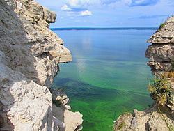
Kamsko-Ustyinsky District (Russian: Камско-Устьинский райо́н; Tatar: Кама Тамагы районы, Kama Tamağı rayonı) is an administrative and municipal district (raion), one of the forty-three in the Republic of Tatarstan, Russia. It is located in the west of the republic and borders with Verkhneuslonsky District in the north, Tetyushsky District in the south, Apastovsky District in the west, and with Kuybyshev Reservoir in the east. The area of the district is 1,199 square kilometers (463 sq mi). Its administrative center is the urban locality (an urban-type settlement) of Kamskoye Ustye. Population: 16,904 (2010 Census); 18,518 (2002 Census); 18,630 (1989 Census). The population of Kamskoye Ustye accounts for 26.5% of the district's total population.
Contents
Map of Kamsko-Ustyinsky District, Republic of Tatarstan, Russia
Ship accident
On July 10, 2011, the Bulgaria, a river cruise ship owned by Kamskoye Rechnoye Parokhodstvo, sank in the Kuybyshev Reservoir near Syukeyevo, after being caught in a storm. A passing tourist ship rescued eighty passengers, but officials feared as many as 128 people may have died.