
Country Cambodia Capital Kampot Time zone Cambodia (UTC+7) Area 4,873 km² Area code +855 | Provincial status 1907 Area rank Ranked 17th Dialing code +855 Population 627,884 (2008) Commune 92 | |
 | ||
Points of interest Preah Monivong National, Botum Sakor National, Povokvil Waterfalls, Núi Đá Dựng, Durian Roundabout | ||
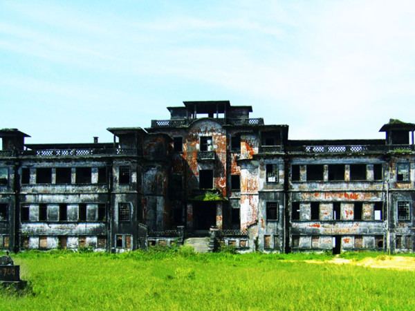
Natural bungalows at kampot province
Kampot (Khmer: ខេត្តកំពត [kɑmpɔːt]) is a (south west province) province (khaet) of Cambodia. It borders the provinces of Koh Kong and Kampong Speu to the north, Takeo and Kep and Vietnam to the east and Sihanoukville to the west. To its south it has a coastline of around 45 km on the Gulf of Thailand. It is rich in low arable lands and has abundant natural resources. Its capital is Kampot town.
Contents
- Natural bungalows at kampot province
- Map of Kampot Province Cambodia
- Kampot province trailer
- History
- Agriculture
- Forestry Mining
- Tourism
- Districts
- References
Map of Kampot Province, Cambodia
Kampot Province had a population of 627,884 in 2010 and consist of eight districts divided into 92 communes with a total of 477 villages. Touk Meas City is located in Kampot Province.
Kampot province trailer
History
Under 19th century French colonial administration Kampot became a regional administrative center with the status of a state border district as a result of the delimitation of the Kingdom of Cambodia. The Circonscription Résidentielle de Kampot contained the arrondissements of Kampot, Kompong-Som, Trang and Kong-Pisey.
In 1889 French colonial census reports a multi-ethnic community: Kampot town consisted of "Cambodian Kampot" on the Prek-Kampot River and "Chinese Kampot" on the right riverbank of the west branch of the Prek-Thom River. Nearby was also a Vietnamese village, called Tien-Thanh and another Vietnamese village on Traeuy Koh Island. A Malay also existed on Traeuy Koh Island. Additional villages of mixed ethnicity are listed.
Agriculture
Forestry & Mining
Tourism
Districts
The province is subdivided into 8 districts.