
Elevation 1,892 m | Topo map USGS Sulphur Country United States of America | |
 | ||
District | ||
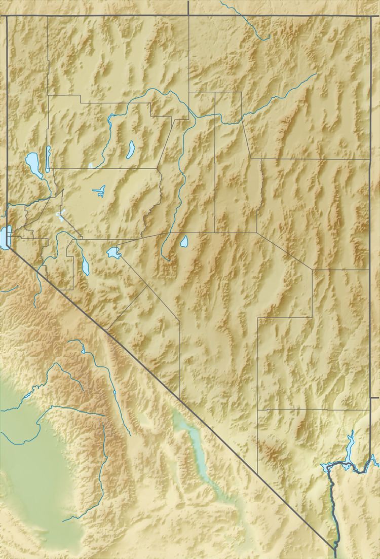
The Kamma Mountains are a mountain range in Pershing County and Humboldt County, Nevada. The ghost town and railroad siding at Sulphur, Nevada is on the west side of the Kamma Mountains at the eastern edge of the Black Rock Desert playa.
Map of Kamma Mountains, Nevada, USA
The Kamma Mountains are the site of Nevada's Sulphur Mining District. Allied Nevada Gold Corporation operates the Hycroft Gold Mine, a strip mine in the Kamma Mountains. Allied Nevada re-opened the mine in 2008 after acquiring it from Vista Gold Corporation.
Jungo Road (State Route 49) connects east through the Kamma Mountains to Winnemucca and south to Gerlach via Sulphur.
References
Kamma Mountains Wikipedia(Text) CC BY-SA