
Founded 1879 Lowest elevation 46 m (151 ft) Population 85,113 (1 Oct 2015) | Highest elevation 77 m (253 ft) Area 7.11 km² | |
 | ||
Time zone Japan Standard Time (UTC+9) Website www.city.kyoto.lg.jp/kamigyo/ | ||
Kamigyō-ku (上京区) is one of the eleven wards in the city of Kyoto, in Kyoto Prefecture, Japan. Located in the center of the present-day city of Kyoto, Japan it previously occupied the northern region of the ancient capital of Kyoto. The Kamo River flows on the eastern border of the ward. The area was previously a district of residences for the royalty and upper classes in the old capital.
Contents
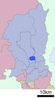
Map of Kamigyo Ward, Kyoto, Kyoto Prefecture, Japan
The ward is home to the Kyoto Imperial Palace, the Kitano Tenmangu Shinto shrine, the Seimei Shrine, Nishijin-ori textiles, and the headquarters of the Omotesenke and Urasenke schools of Japanese tea ceremony.
As of 2016, Kamigyō-ku had a population of 85,146 people.
Education
The Lycée Français de Kyoto, the French international school in Kansai, is in this ward.
Kyoto International School is also in this ward.