
Elevation 502 m Local time Saturday 11:29 AM | Postal code 582 92 to 584 01 Area 5.98 km² Population 253 (1 Jan 2014) | |
 | ||
Weather 6°C, Wind W at 32 km/h, 83% Humidity | ||
Dobrovoln hasi i kamenn lhota
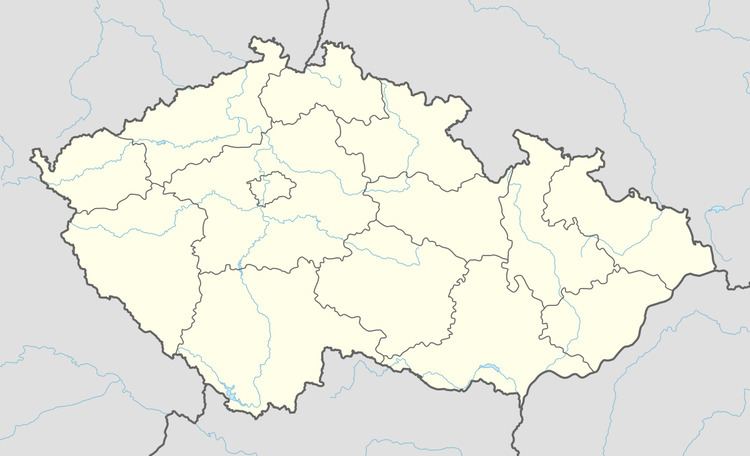
Kamenná Lhota is a village and municipality (obec) in Havlíčkův Brod District in the Vysočina Region of the Czech Republic.
Contents
Map of Kamenn%C3%A1 Lhota, Czechia
The municipality covers an area of 5.98 square kilometres (2.31 sq mi), and has a population of 241 (as at 28 August 2006).
Kamenná Lhota lies approximately 23 kilometres (14 mi) west of Havlíčkův Brod, 36 km (22 mi) north-west of Jihlava, and 79 km (49 mi) south-east of Prague.
Kamenn lhota 7 3 2015
References
Kamenná Lhota Wikipedia(Text) CC BY-SA