
 | ||
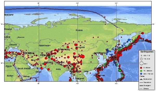
Three earthquakes, which occurred off the coast of Kamchatka Peninsula in far eastern Russia and the Soviet Union in 1737, 1923 and 1952, were megathrust earthquakes and caused tsunamis. They occurred where the Pacific Plate subducts under the Okhotsk Plate at the Kuril-Kamchatka Trench. The depth of the trench at the point of the earthquakes is 7,000–7,500 m. Northern Kamchatka lies at the western end of the Bering fault, between the Pacific Plate and North American Plate, or the Bering plate There are many more earthquakes and tsunamis originating from Kamchatka, of which the most recent was the 1997 Kamchatka earthquake and tsunami originating near the Kronotsky Peninsula.
Contents
1737 earthquakeEdit
The epicentres of the 1737 earthquake was located at 52.5°N 159.5°E / 52.5; 159.5. This earthquake occurred at a depth of 40 km. A magnitude of 8.3 Ms (9.0Mw) has been estimated.
1923 earthquakesEdit
On February 4, 1923, an estimated magnitude 8.3–8.5 Mw earthquake with an approximate location of 54.0°N 161.0°E / 54.0; 161.0 triggered an 8 m tsunami that caused considerable damage in Kamchatka, with a number of reported deaths. The tsunami was still 6 meters high when it reached Hawaii, causing at least one fatality. There was another earthquake and tsunami in April 1923, which caused locally high tsunami runup near Ust' Kamchatsk, leaving a deposit studied by Minoura and others.
1952 earthquakeEdit
The main earthquake struck at 16:58 GMT (04:58 local time) on November 4, 1952. Initially assigned a magnitude of 8.2, the quake was revised to 9.0 Mw in later years. A large tsunami resulted, causing destruction and loss of life around the Kamchatka peninsula and the Kuril Islands. Hawaii was also struck, with estimated damage of up to US$1 million and livestock losses, but no human casualties were recorded. Japan reported no casualties or damage. The tsunami reached as far as Alaska, Chile, and New Zealand.
The hypocentre was located at 52.75°N 159.5°E / 52.75; 159.5, at a depth of 30 km. The length of the subduction zone fracture was 600 km. Aftershocks were recorded in an area of approximately 247,000 km2, at depths of between 40 and 60 km. A recent analysis of the tsunami runup distribution based on historical and geological records give some indication as to the slip distribution of the rupture.