
Vehicle registration TN 60 Population 12,165 (2001) | Time zone IST (UTC+5:30) Local time Saturday 2:55 PM | |
 | ||
Weather 24°C, Wind S at 5 km/h, 90% Humidity | ||
Kamayagoundanpatti is a panchayat town in Theni district in the Indian state of Tamil Nadu.
Contents
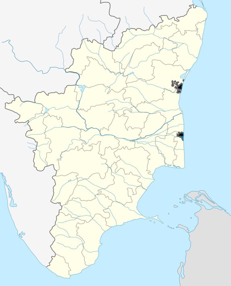
Map of Kamayagoundanpatti, Tamil Nadu 625521
Demographics
As of 2001 India census, Kamayagoundanpatti is a beautiful village in cumbum valley located near the bank of the river mullaiperiyar.It is a agricultural village had a population of 12,165. Males constitute 48% of the population and females 52%. Kamayagoundanpatti has an average literacy rate of 61%, higher than the national average of 59.5%: male literacy is 69%, and female literacy is 54%. In Kamayagoundanpatti, 11% of the population is under 6 years of age.there are lot of caste available in this village. Located in State Highways, 6 km south of Uthamapalayam and 4 km east of Cumbum, surrounded by Megamalai in the east and by western ghats of Suruli Hills in the south and Cumbum mettu hills in the west.