
Area 91.61 km² | Time zone BST (UTC+6) | |
 | ||
Website Official Map of Kamarkhanda | ||
Kamarkhanda (Bengali: কামারখন্দ) is an Upazila of Sirajganj District in the Division of Rajshahi, Bangladesh.
Contents
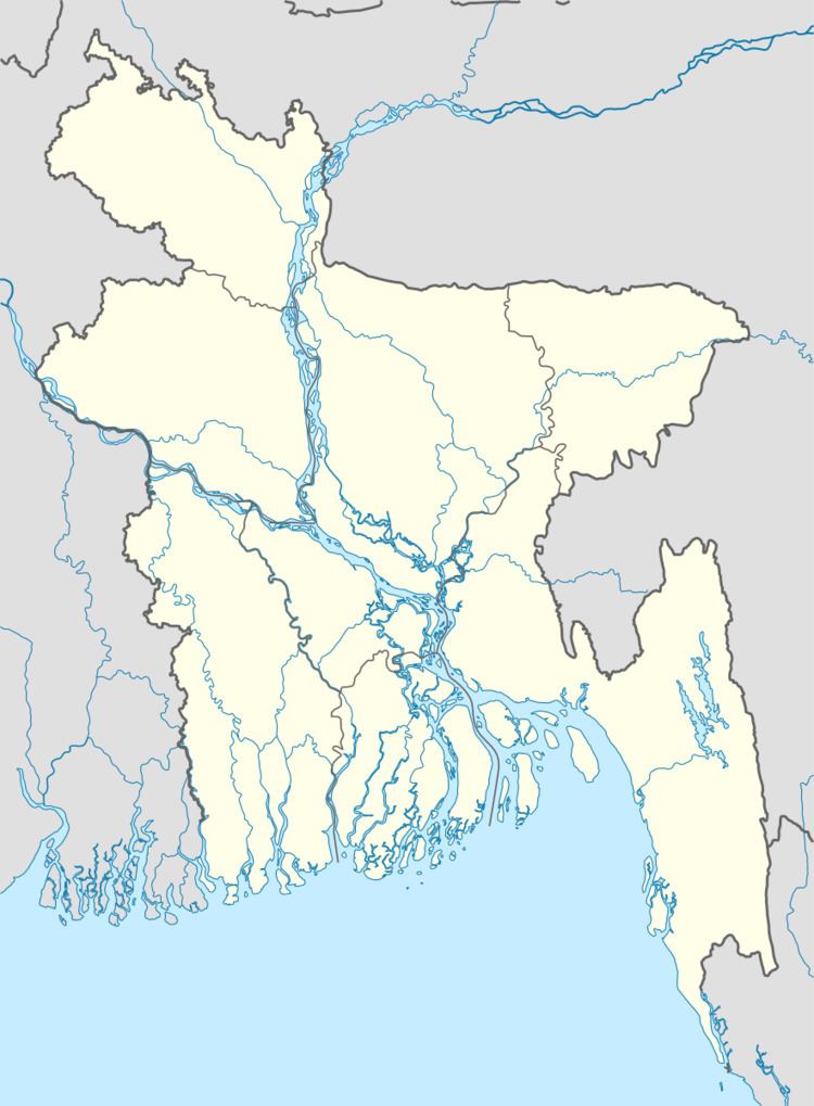
Map of Kamarkhanda Upazila, Bangladesh
Geography
Kamarkhanda is located at 24.3667°N 89.7042°E / 24.3667; 89.7042 . It has 19181 households and total area 91.61 km².
Demographics
As of the 1991 Bangladesh census, Kamarkhanda has a population of 105,997. Males constitute 51.81% of the population, and females 48.19%. This Upazila's eighteen up population is 51,649. Kamarkhanda has an average literacy rate of 26.2% (7+ years), and the national average of 32.4% literate.
Administration
Kamarkhanda has 4 Unions/Wards, 55 Mauzas/Mahallas, and 92 villages including Paikosha, Konabari, Bagbari.
References
Kamarkhanda Upazila Wikipedia(Text) CC BY-SA