
Elevation 488 m Number of airports 1 | Local time Saturday 5:04 AM | |
 | ||
Weather 20°C, Wind E at 3 km/h, 96% Humidity | ||
Caravan landing at kamarang guyana
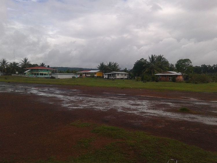
Kamarang is an Amerindian village, standing at the confluence of the Kamarang River and Mazaruni River, in the Cuyuni-Mazaruni Region of Guyana in the disputed Guayana Esequiba region. Its altitude is 490 metres (1601 feet).
Contents
Map of Kamarang, Guyana
Kamarang has a Primary School, Hospital, Police station and a paved airstrip. The village has seen extensive economic growth at the start of the 21st century and has remained a hotspot for economic activities which include Gold and Diamond Mining.
Guyana video diary from kamarang
References
Kamarang Wikipedia(Text) CC BY-SA