
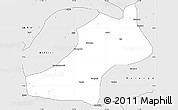
Time zone WAT (UTC+1) Area 881 km² | Headquarters Kaltungo 3-digit postal code prefix 770 | |
 | ||
Weather 28°C, Wind SE at 3 km/h, 23% Humidity | ||
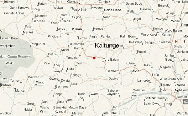
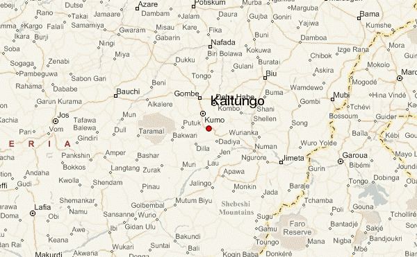
Kaltungo is a Local Government Area of Gombe State, Nigeria. Its headquarters are in the town of Kaltungo in the west of the area on the A345 highway at 9°48′51″N 11°18′32″E.
It has an area of 881 km² and a population of 149,805 at the 2006 census.
The postal code of the area is 770.
The General Hospital in Kaltungo served snakebite victims from Duguri District, Alkaleri LGA, Bauchi State, after a flood along the River Benue in October 2012 resulted in a large increase in the population of venomous snakes. A July 2013 report indicated that over 200 people in Duguri District had died of snakebite; "whoever is lucky to make it to Kaltungo is treated in only two days and then they return home."

References
Kaltungo Wikipedia(Text) CC BY-SA