
3-digit postal code prefix 743 Local time Saturday 4:32 PM | Time zone WAT (UTC+1) Area 5,918 km² | |
 | ||
Weather 37°C, Wind NE at 11 km/h, 7% Humidity | ||
Grand khadi at the alkaleri poverty alleviation programme hausa speech
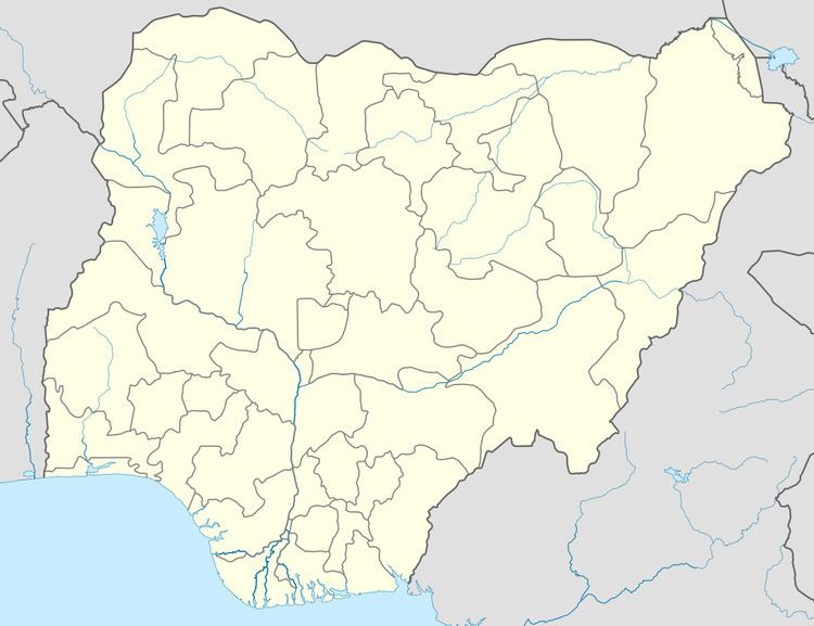
Alkaleri is a Local Government Area of Bauchi State, Nigeria. Its headquarters are in the town of Alkaleri (or Alkalere) on the A345 highway in the north of the area at10°15′58″N 10°20′07″E. The northeasterly line of equal latitude and longitude passes through the LGA.
Contents
It has an area of 5,918 km² and a population of 329,424 at the 2006 census.
The predominant ethnic group in the area are the Tangale.
The postal code of the area is 743.
Duguri District
Duguri is located "136 kilometres away from Bauchi, the state capital, and 120 kilometres from Alkaleri, the local government headquarters."
Villages surrounding Duguri include "Geji, Yuli, Shafa, Gamu, Dogon-Ruwa, Bogos, Rimi, Kukuri, Keffi, Talan, Geji-Gamu, Kunzum, Yalam, Sabonlayi, Kungimbar, Gyel, Anguwar-Gebi, Bunn, Sabon Gari, Yumi, Bayek, and Gobir, and Adamu Mohammed."
A flood along the River Benue in October 2012 resulted in a large increase in the population of venomous snakes in the Duguri District. A July 2013 report indicated that over 200 people in the district had died of snakebite. The General Hospital in Kaltungo, Gombe State is the nearest location for treatment of snakebite; "whoever is lucky to make it to Kaltungo is treated in only two days and then they return home."