
Time zone CET/CEST (UTC+1/+2) Area 15.61 km² Population 1,754 (31 Dec 2008) Dialling code 036966 | Elevation 440 m (1,440 ft) Postal codes 36452 Local time Saturday 7:53 AM Postal code 36452 | |
 | ||
Weather 4°C, Wind SW at 40 km/h, 88% Humidity | ||
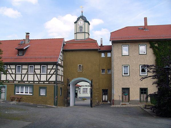
Kaltennordheim is a town in the Wartburgkreis district, in Thuringia, Germany. It is situated in the Rhön Mountains, 22 km southwest of Bad Salzungen, and 35 km east of Fulda.
Contents
Map of 36452 Kaltennordheim, Germany
History
Within the German Empire (1871-1918), Kaltennordheim was part of the Grand Duchy of Saxe-Weimar-Eisenach.
References
Kaltennordheim Wikipedia(Text) CC BY-SA