
Highest elevation 0 m (0 ft) Area 2.79 km² Postal code 682557 Adjacent body of water Indian Ocean | Total islands 7 Elevation 0 cm Literacy 84.4% Area code 04895 | |
 | ||
Major islands KalpeniCheriyamTilakkamKodithalaPitti Island groups | ||
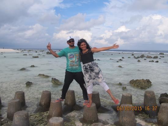
One day trip to cheriyam islet of kalpeni
Kalpeni is an inhabited Atoll in the Union Territory of Lakshadweep, India. It has a distance of 2,079 km (1,292 mi) south of the city of Delhi.
Contents
- One day trip to cheriyam islet of kalpeni
- Map of Kalpeni Lakshadweep
- Awesome kalpeni island lakshadweep india
- Geography
- List of Islands
- Demographics
- Administration
- Tourism
- Image Gallery
- References
Map of Kalpeni, Lakshadweep
Awesome kalpeni island lakshadweep india
Geography
Kalpeni is 218 kilometres (135 miles) west from the port of Kochi and lies 71 kilometres (44 miles) south of Andrott and 201 kilometres (125 miles) to the NNE of Minicoy, with the broad Nine Degree Channel between them. Suheli Par atoll lies 139 kilometres (86 miles) to the west of Kalpeni.
Kalpeni forms a single coral atoll along with the uninhabited islands of Cheriyam, Tilakkam, Kodithala and Pitti islet.
The eastern and southern shorelines of the island have accumulations of coral debris, the result of a violent storm that hit the area in 1847. It has a lagoon area of 25.6 km2 (9.9 sq mi).
List of Islands
MGNREGS is currently making an economic development on the island to accommodate a new village and resort like on Sentosa. It would impact the economic growth of Kalpeni Island.
Demographics
Kalpeni was the first island in the Union Territory where women were allowed to go to school and get an education.
Administration
The island belongs to the township of Kalpeni of Andrott Tehsil.
Tourism
Kalpeni has a beach at the northern tip of the island called Tip Beach where one can do snorkeling, sea bath and kayaking. Because of the coral reefs present in the sea near the beach, the water is shallow and calm, making it an excellent spot for beach activities.
There is a 37-metre-high (121 ft) lighthouse in Kalpeni from whose top one can see a bird's eye view of the island, the lagoon with the smaller islands, the reef and the surrounding ocean. From the top of the lighthouse, one can visualize the abundance of coconut trees and the ground is not visible due to dense packing of the tops of these trees.