
Vehicle registration ΙΝ | Time zone EET (UTC+2) Local time Saturday 8:38 AM | |
 | ||
Weather 7°C, Wind N at 0 km/h, 70% Humidity | ||
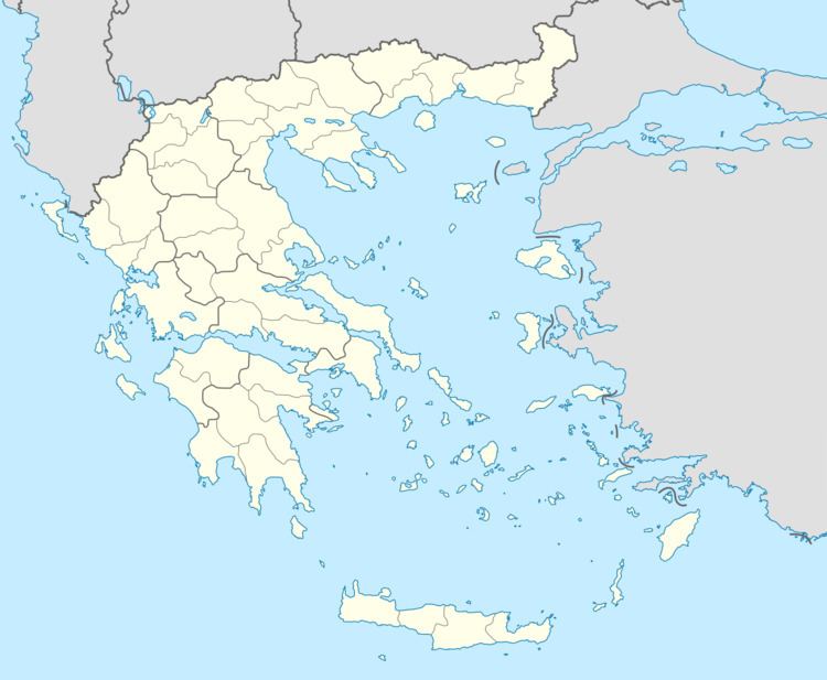
Kalpaki (Greek: Καλπάκι) is a former municipality in the Ioannina regional unit, Epirus, Greece. Since the 2011 local government reform it is part of the municipality Pogoni, of which it is a municipal unit. It is situated about 30 km (19 mi) northwest of Ioannina, and southwest of Konitsa. The municipal unit has an area of 116.756 km2, the community 13.189 km2. Population 1,719 (2011). The Greek National Road 20 connects Kalpaki with Ioannina and Konitsa. The GR-22 connects Kalpaki with Kakavia, the border crossing into southern Albania.
Contents
Map of Kalpaki 440 04, Greece
Subdivisions
The municipal unit Kalpaki is subdivided into the following communities (constituent villages in brackets):
History
Kalpaki joined Greece after the Balkan Wars of 1913.
References
Kalpaki Wikipedia(Text) CC BY-SA