
Elevation 160 m | Area 34.13 km² | |
 | ||
Kalná nad Hronom (Hungarian: Kálna) is a village and municipality in the Levice District in the Nitra Region of Slovakia.
Contents
Map of Kaln%C3%A1 nad Hronom, Slovakia
History
In historical records the village was first mentioned in 1209.
Geography
The village lies at an altitude of 162 metres and covers an area of 34.134 km².
Ethnicity
Kalná nad Hronom has a population of about 2,048 people. The village is approximately 77% Slovak, 17% Magyar and 6% Czech.
Government
The village has its own birth registry and police force.
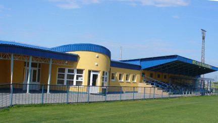
Facilities
The village has a public library a gym and football pitch an.
References
Kalná nad Hronom Wikipedia(Text) CC BY-SA