Admin. region Detmold Elevation 214 m (702 ft) Area 112.4 km² Local time Saturday 6:21 AM Dialling code 05264 | District Lippe Time zone CET/CEST (UTC+1/+2) Population 14,622 (30 Jun 2010) Postal code 32689 Administrative region Detmold | |
 | ||
Weather 6°C, Wind SW at 29 km/h, 96% Humidity | ||
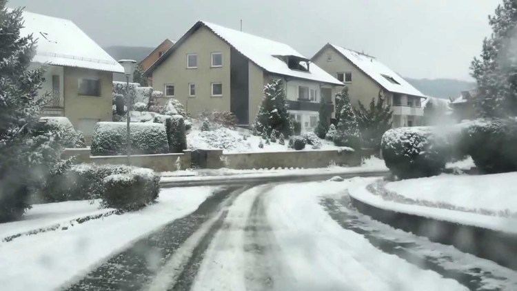
Kalletal is a municipality in the Lippe district of North Rhine-Westphalia, Germany, with c. 13,800 inhabitants (2013).
Contents
- Map of Kalletal Germany
- Hohenhausen gemeinde kalletal landkreis lippe 24 7 2013
- Comprising villages Ortschaften
- References
Map of Kalletal, Germany
Hohenhausen gemeinde kalletal landkreis lippe 24 7 2013
Comprising villages (Ortschaften)
References
Kalletal Wikipedia(Text) CC BY-SA
