
District Pashchimi Singhbhum Vehicle registration JH Population 3,786 (2001) | Time zone IST (UTC+5:30) Elevation 158 m Local time Saturday 8:44 AM | |
 | ||
Weather 26°C, Wind NW at 0 km/h, 44% Humidity | ||
Kalikapur is a census town in Pashchimi Singhbhum district in the Indian state of Jharkhand.
Contents
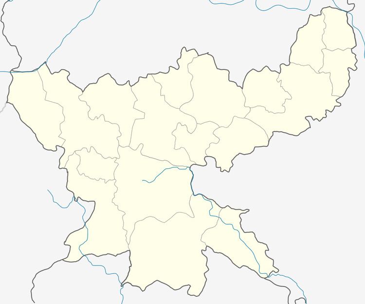
Map of Kalikapur, Jharkhand 832102
Geography
Kalikapur is located at 22.62°N 86.28°E / 22.62; 86.28. It has an average elevation of 158 metres (518 feet).
Demographics
As of 2001 India census, Kalikapur had a population of 3,786. Males constitute 52% of the population and females 48%. Kalikapur has an average literacy rate of 90%, higher than the national average of 59.5%: male literacy is 93%, and female literacy is 87%. In Kalikapur, 6% of the population is under 6 years of age.
References
Kalikapur, India Wikipedia(Text) CC BY-SA