
Time zone EET (UTC+2) Licence plate 06 Elevation 725 m Local time Saturday 4:50 AM | Region Central Anatolia Postal code 06xxx Website www.kalecik.bel.tr Area 1,318 km² Area code 0312 | |
 | ||
Weather 1°C, Wind W at 16 km/h, 82% Humidity | ||
Kalecik is a town and district of Ankara Province in the Central Anatolia region of Turkey. According to 2010 census, population of the district is 14,517 of which 9,450 live in the town of Kalecik. The district covers an area of 1,340 km2 (517 sq mi), and the average elevation is 725 m (2,379 ft).
Contents
- Map of Kalecik GC3BCmC3BCC59FpC4B1nar Mahallesi 06870 Kalecik2FAnkara Turkey
- History
- Education
- Places of interest
- References
Map of Kalecik, G%C3%BCm%C3%BC%C5%9Fp%C4%B1nar Mahallesi, 06870 Kalecik%2FAnkara, Turkey
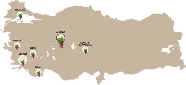
Kalecik stands on a plain with the eastern boundary formed by the River Kızılırmak while there are mountains to the south and the west. This agricultural district is known for its wine; other major crops include sugar beet and grains.
The popular grape variety Kalecik Karası grows successfully near the Kızılırmak and is used to make some of Turkey's best red wine.
History
The area has a history going back to the Hittites and even earlier (4000 BC). In the Ottoman Empire period this was a thriving town recorded by the 17th-century traveler Evliya Çelebi as being a trading city with tanneries, coppersmiths, and weavers.
Education
The vocational school of higher education in Kalecik (Turkish: Kalecik Meslek Yüksekokulu), part of Ankara University, educates in viticulture and winemaking.