
Elevation 1,584 m (5,197 ft) Local time Saturday 5:32 AM Rayon Kalbajar District | Time zone AZT (UTC+4) Population 600 (2015) | |
 | ||
Country De facto: Nagorno-Karabakh
De jure: Azerbaijan NKR region
Azerbaijani district Shahumyan Region
Kalbajar District Weather -6°C, Wind SW at 8 km/h, 84% Humidity | ||
Qusar quba khachmaz kobustan kalbajar azerbaijan
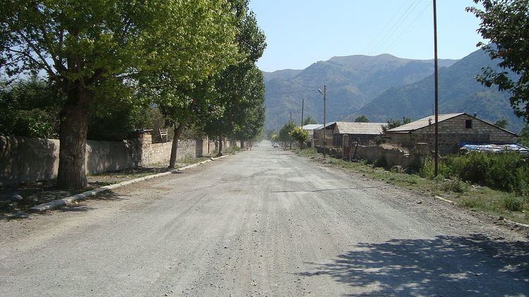
Kalbajar (Azerbaijani: Kəlbəcər, also spelled as Kelbajar, Kälbäjär, Kelbadzhar, Kelbadshar, Kelbadjar, Kelbadžar; Karvachar (Armenian: Քարվաճառ Karvachar) is the administrative center of Kalbajar District of Azerbaijan; but the city along with the associated rayon is under the control of the unrecognized Nagorno-Karabakh Republic after it was captured by Armenian forces during the Battle of Kalbajar, near the end of the Nagorno-Karabakh War. Kalbajar was part of the ancient Armenian district of Vaykunik but was deliberately excluded from the Karabakh Autonomous Region in 1923, but then reunited with Nagorno Karabakh Republic during the National Liberation War.
Contents
- Qusar quba khachmaz kobustan kalbajar azerbaijan
- Map of Kalbajar District Azerbaijan
- Nagorno Karabakh War
- Lakes rivers mountains and zones
- References
Map of Kalbajar District, Azerbaijan
Nagorno-Karabakh War
Armenian and Karabakh forces conquered Kalbajar the Nagorno-Karabakh War, due to its strategic location between the former Nagorno-Karabakh Autonomous Oblast and Armenia. Human Rights Watch findings concluded that during the Kelbajar offensive both sides violated rules of wars, including indiscriminate fire, and the taking of hostages." The capture was condemned by the UN Security Council.
Lakes, rivers, mountains and zones
There are 13 lakes in local plains and mountains.
Kalbajar’s longest river is the Tartarchay. Its tributaries are the Tutkhun, Lev, Zaylik, Alolar, Garaarkhaj (Sarkar) rivers.
There are also 20 well-known water springs.
70-80 per cent of the district is made up of mountains and each of them has a name. Since motor traffic in mountains is limited, local people have divided the district in different zones:
1. Upper zone – territories stretching from the center westwards 2. Ayrim zone – north-west 3. Gamishli-Lev zone – north-east 4. Tutgu zone – area around Zulfugarli- Baslibel 5. Sarsang SES zone – forests in the east 6. The Dalidagh-Sariyer-Keyti zone consists of bare mountains and plains