PIN 637404 Local time Saturday 5:49 AM | Time zone IST (UTC+5:30) Population 10,282 (2001) | |
 | ||
Weather 24°C, Wind SE at 3 km/h, 79% Humidity | ||
Kalappanaickenpatti is a panchayat town in Namakkal district in the Indian state of Tamil Nadu.
Contents
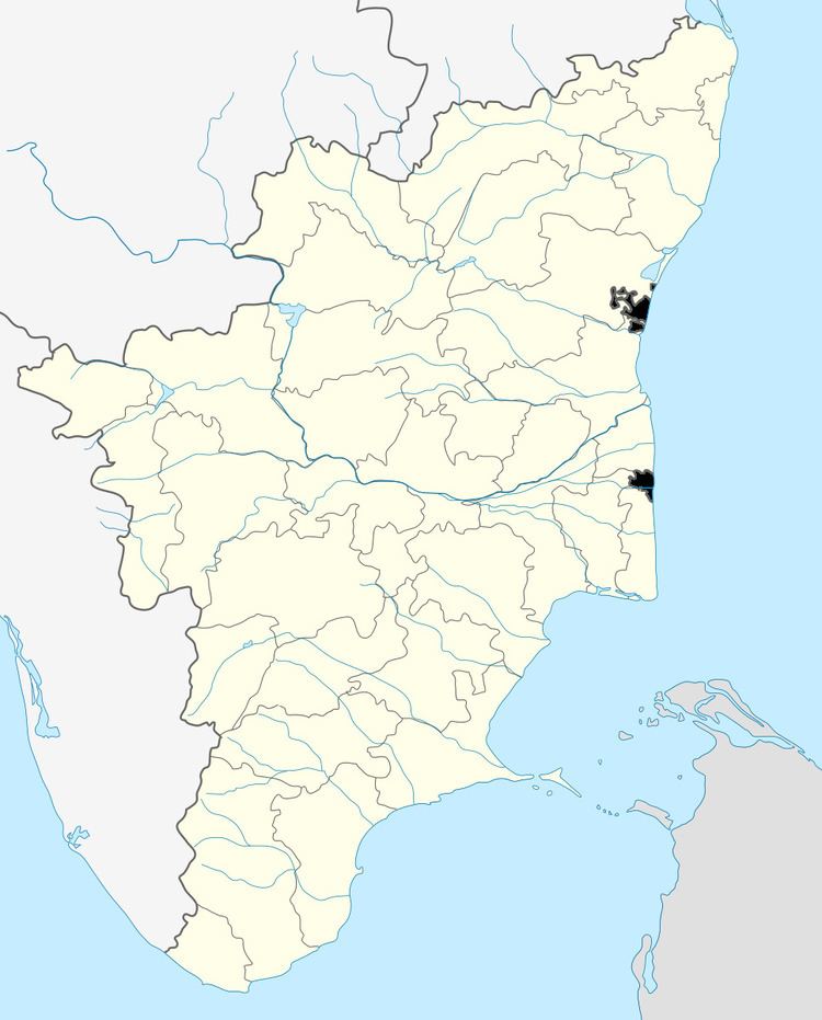
Map of Kalappanaickenpatti, Tamil Nadu 637404
Demographics
At the 2001 India census, Kalappanaickenpatti had a population of 10,282. Males constitute 50% of the population and females 50%. Kalappanaickenpatti has an average literacy rate of 62%, higher than the national average of 59.5%: male literacy is 72%, and female literacy is 53%. In Kalappanaickenpatti, 8% of the population is under 6 years of age. Population of Telugu community like Nayakar and kongu velalar(gounder) is the dominant communities and also Telugu Arunthathiyar, Telugu Chettiars, Palli, dalits also in sizable number .
Transport
Kalappanaickenpatti is located 17 km northeast from Namakkal on State Highway SH-95 (connecting Mohanur-Namakkal-Muthugapatti-Akkiampatty-Sendamangalam-Kalappanaickenpatty, Rasipuram, 54 km long). The nearest cities from kalappanaickenpatti are Namakkal (17 km), Karur (50 km), Salem (45 km), Erode (66 km), and Tiruchirapalli (95 km). Chennai, the capital of the state, is 375 km from Namakkal. The nearest airport is in Salem(45 km). The nearest major railway station is at Salem (45 km).
bus facilities town buses from namakkal are 14, 14a, 14b, 14c and these with more privates buses one in 10mmints
Climate
Kalappanaickenpatti has an cool climate
