
Time zone IST (UTC+5:30) Elevation 480 m | Demonym(s) Kalamnurikar Vehicle registration MH-38 Local time Saturday 5:25 AM | |
 | ||
Weather 23°C, Wind NW at 8 km/h, 39% Humidity Neighborhoods Noori Mohalla, Bhim Nagar, Khwaja Colony | ||
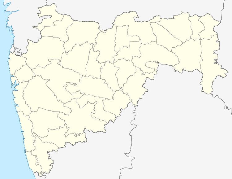
Kalamnuri is a city and a municipal council in Hingoli district in the Indian state of Maharashtra.
Contents
Map of Kalamnuri, Maharashtra 431702
Geography
Kalamnuri is located at 19.67°N 77.33°E / 19.67; 77.33. It has an average elevation of 480 metres (1574 feet).
Demography
Government and Administration
References
Kalamnuri Wikipedia(Text) CC BY-SA