
Country Canada Population 45 (2011) Area code 867 | Settled 1962 Local time Friday 3:49 PM | |
 | ||
Weather -13°C, Wind N at 10 km/h, 64% Humidity | ||
Kakisa (Slavey language: K’agee; between the willows) is a "Designated Authority" in the South Slave Region of the Northwest Territories, Canada. The community is located on a lake of the same name, and is southeast of Fort Providence. Originally located at Tathlina Lake, the community moved, in 1962, to the present location in order to be closer to the Mackenzie Highway and is linked by a 13 km (8.1 mi) all-weather road.
Contents
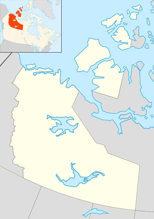
Map of Kakisa, NT, Canada
Demographics
Population is 45 according to the 2011 Census a decrease of 13.5% from the 2006 Census. The majority of the community reported First Nations status. The main languages in the community are South Slavey and English. In 2012 the Government of the Northwest Territories reported that the population was 54 and that 78.6% spoke an aboriginal language.
Services
Royal Canadian Mounted Police services are provided through Fort Providence and no health services are available. There is a single grocery store, the "River Front Convenience Store-Motel" which serves visitors to the nearby Lady Evelyn Falls. Education, up to Grade 9, is provided by Kakisa Lake School.
First Nations
The Dene of the community are represented by the Ka’agee Tu First Nation and belong to the Dehcho First Nations.