
Native name 梯川 Basin size 271 km (105 sq mi) Discharge 14.2 m³/s | Length 42 km Basin area 271 km² Mouth elevation 0 | |
 | ||
Main source Suzugaoka1,174 m (3,852 ft) Mouth Sea of Japan (also known as East Sea) | ||
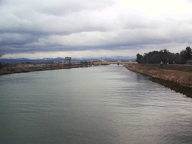
The Kakehashi River (梯川, Kakehashi-gawa) has its source at Suzugaoka (鈴ヶ丘) in the city of Komatsu, Ishikawa Prefecture, Japan.
Contents
Map of Kakehashi-gawa, Komatsu, Ishikawa Prefecture, Japan
Geography
The river flows from Suzugaoka, which is part of the same mountain chain as Mount Haku. It forms the southern border of Komatsu, separating it from Kaga.
References
Kakehashi River Wikipedia(Text) CC BY-SA