
Time zone CET/CEST (UTC+1/+2) Area 13.06 km² Population 389 (31 Dec 2008) Dialling code 04856 | Elevation 0 m (0 ft) Postal codes 25709 Local time Friday 9:05 PM Postal code 25709 Municipal assoc. Marne-Nordsee | |
 | ||
Weather 6°C, Wind SW at 35 km/h, 88% Humidity | ||
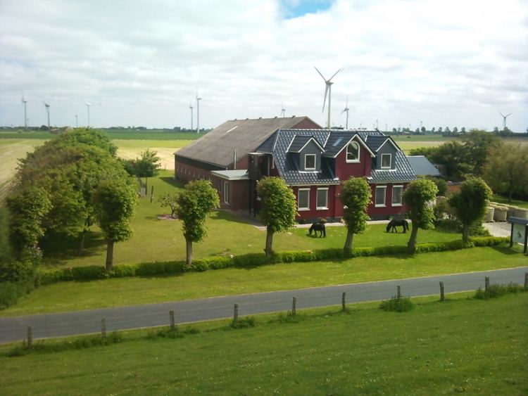
Kaiser-Wilhelm-Koog is a municipality situated along the North Sea coast in the district of Dithmarschen, in Schleswig-Holstein, Germany.
Map of Kaiser-Wilhelm-Koog, Germany
The municipality is located in and named after the polder (German: Koog), which was finished in 1874 and named in honour of German Emperor William I. The Koog is entirely reclaimed land and therefore a completely flat area and is 0 meters above sea level.
References
Kaiser-Wilhelm-Koog Wikipedia(Text) CC BY-SA