
PIN 431123 Local time Saturday 12:28 AM | Time zone IST (UTC+5:30) Vehicle registration MH-44 Area code 02445 | |
 | ||
Weather 26°C, Wind NW at 8 km/h, 28% Humidity | ||
Kaij is a tehsil in Beed District, Maharashtra, India.
Contents
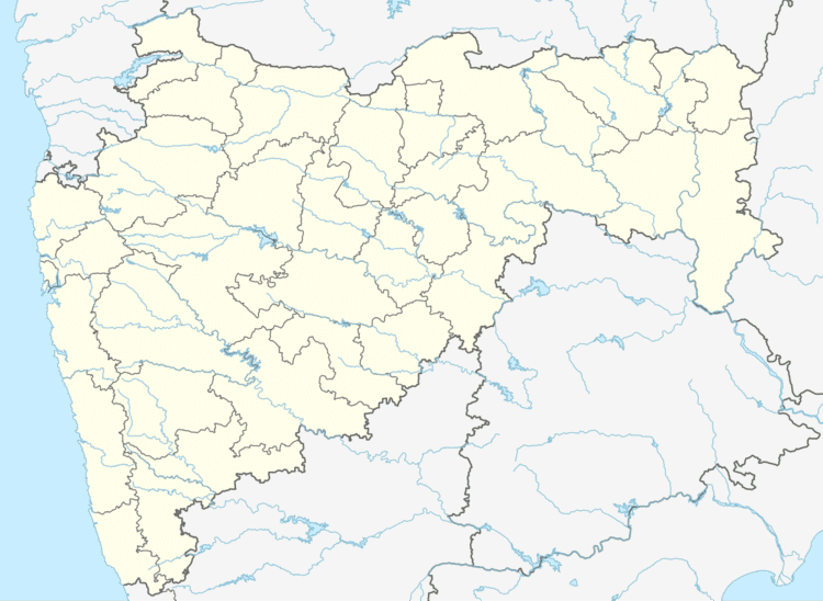
Map of Kaij, Maharashtra 431123
A'Matth' (मठ)(Hindu's holy place of dedication to God) was built by Shrimañth Nanasaheb Deshpande (श्रीमंत नानासाहेब देशपांडे), ruler of Kaij (केज चे प्रशासक). In later times श्रीमंत रामराव देशपांडे ( Shrimant Ramrao Deshapnde ) the ministrial bodies of Kaij requested King of Hyderabad (as the town,before independence, was in Hyderabad Kingdom) to improve its grade to Block level (तालुका) Fruitfully Kaij was come into existence as a Taluka. Since then Kaij is one of the oldest Talukas in Beed district.
Kaij town has many popular Temples, Masjids and Darga's. Ram Mandir, Maruti Mandir, Mahadev Mandir, Ganpati Mandir, Bhavani Devi Mandir, Samarth Matth, Tambaweshwar temple of Tambava village, Uttareshwar temple of Uttreshwar Pimpri are few of holy places in Kaij.
Kaij is situated in the hilly area. Almost every direction has about 70-80 feet altitude. Kaij is situated among lower space of these hills.