
Country Afghanistan Time zone GMT+04:30 Kabul | Elevation 1,475 m (4,839 ft) Local time Friday 10:12 PM | |
 | ||
Weather 5°C, Wind SW at 19 km/h, 68% Humidity | ||
Kahmard is a district of Bamyan Province in central Afghanistan. It is located at an altitude of 1,475 meters, with a population of 31,042. Kahmard is situated 140 km from Bamiyan city, in the north of the province, and is divided into five valleys (Hajar, Madr, Tangipushta, Ashpusht and DoAb-e-Mekh-I-Zarin). Tajiks are around 85% of the population and make up the majority in the district, followed by 8% Hazaras, 6% Tatars and 1% Pashtuns
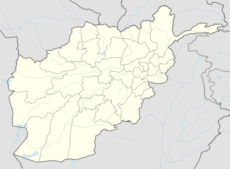
Map of Kahmard, Afghanistan
It was part of Baghlan Province in the past, but in 2005, part of the district was split off to form Sayghan District.
The main river, the Ajar, is an important source of water for the district. Kahmard is considered to be relatively rich. In the past, the district was a hunting ground of the former King (Zahir Shah). No major destruction of houses, shops, education or health centers took place during the war.
Kahmard has been shaken by rivalries and armed conflicts between Toofan, an ethnic Tajik and former Governor allied to Khalili, and Commander Rahmatullah allied to Mollawi Islamuddin, Governor of Samangan Province.
In mid June 2002, after fighting between the opposing factions, the district fell to commander Rahmatullah, affiliated with Jamiat and closely involved with the Taliban during the war. Human rights violations have been reported in various parts of the district. On September 13, 2002, Toofan launched an offensive on Kahmard in a bid to take control over the district.
Commander Atiq Saighani took control of Kahmard district on September 26, 2006.