
Arabic كفرة Subdistrict Baysan Area 9,172 dunams Date of depopulation 16 May 1948 | Name meaning "The village" Palestine grid 196/222 Local time Friday 6:09 PM | |
 | ||
Cause(s) of depopulation Influence of nearby town's fall Weather 14°C, Wind N at 3 km/h, 64% Humidity | ||
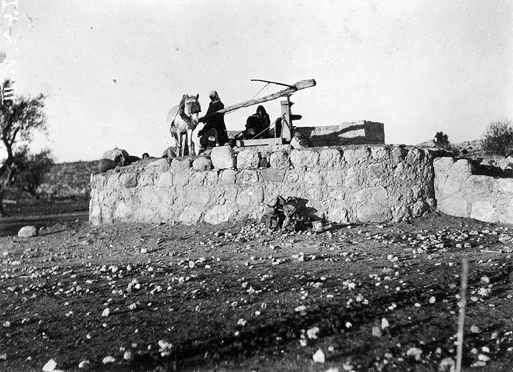
Kafra (Arabic: كفرة), was a Palestinian Arab village located 10.5 kilometres north of Baysan. Built along both sides of the Wadi Kafra, the village had been known by this name since at least the time of the Crusades. It was depopulated by the Israel Defense Forces during the 1948 Palestine War on May 16, 1948.
Contents
History
Adolf Neubauer connected it with a place mentioned in the Talmud, called Kefra.
The Crusaders spelled it Cafra.
Ottoman era
In 1875, Victor Guérin visited and found many basalt ruins, but the village itself was deserted.
In 1882, the Palestine Exploration Fund's Survey of Western Palestine described the village as being "a ruined village with traces of antiquity. Dr. Tristram mentions it as inhabited in 1866, and containing drafted masonry, but the ruins do not appear important."
British mandate era
In the 1922 census of Palestine, conducted by the Mandatory Palestine authorities, Kafra had a population of 273; all Muslims, increasing slightly in the 1931 census to 298; all Muslims except 1 Christian, in a total of 81 houses.
In 1945, the population was 430 Muslims, with a total of 9,172 dunams of land. Of this, 36 dunams were for plantations and irrigated land, 7,284 for cereals, while 18 were built-up land.