
Grid position 187/293 PAL Governorate Nabatieh Governorate Elevation 580 m (1,900 ft) Local time Friday 5:56 PM | Country Lebanon District Bint Jbeil District Time zone EET (UTC+2) | |
 | ||
Weather 11°C, Wind S at 6 km/h, 73% Humidity | ||
Kfar Dunin (كفردونين) is a village in Lebanon, 102 km from the capital Beirut and 580 m from sea coast remote. Adjacent villages: Deir Kifa, Alkaline, Khirbat Silm, Der Ntar. It is considered first of villages in Bent Jbeil district of Nabatieh Governorate. Its population is 6000 people.
Contents
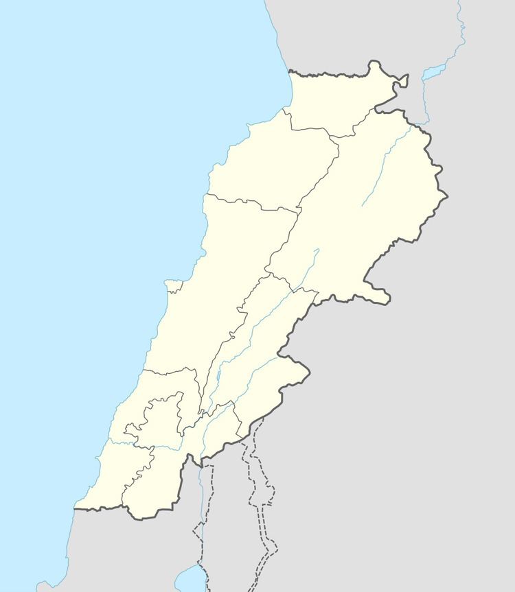
Map of Kfar Dounine, Lebanon
History
In 1875 Victor Guérin noted: "Near a little mosque are well-cut stones, the remains of a demolished church, of which there also survive fragments of monolithic columns and several broken capitals, strewing the soil in several places, and especially near the Sheikh's house.' He estimated that the village had 350 to 400 Metawileh inhabitants.
In 1881, the Palestine Exploration Fund's Survey of Western Palestine (SWP) described it as: "A village, built of stone, containing about 150 Metawileh, on a hill, surrounded by figs, olives, and arable land. The water is obtained from a spring near and cisterns in the village."