
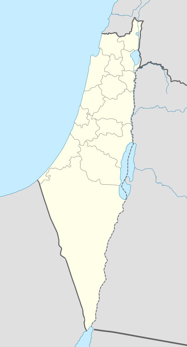
Arabic كفر عنان Also spelled Kefr 'Anan, Palestine grid 189/259 Local time Friday 5:54 PM Date of depopulation February 1949 | Name meaning Village of Anan Area 5,827 dunams | |
 | ||
Weather 13°C, Wind N at 5 km/h, 74% Humidity | ||
Kafr ʿInān (Arabic: كفر عنان), was a Palestinian Arab village in the Acre Subdistrict around 33 kilometres (21 mi) east of Acre. Until 1949, it was an Arab village built over the ruins of ancient Kfar Hananya. Archaeological surveys indicate the village was founded in the early Roman period, and was inhabited through the Byzantine period. It was resettled in the Middle Ages and the modern era.
Contents
Captured by Israel during the 1948 Arab–Israeli war, many of the villagers fled the fighting. Those few hundred who managed to remain or to return were subsequently transferred out of the village by the Israel Defense Forces to the West Bank or to other Arab towns in the newly established Israel on three separate occasions in January and February 1949.
A shrine for the Sheikh Abu Hajar Azraq and the remains of a small domed building are still standing, along with the remains of various burial sites of rabbis. Archaeological remains include cisterns and domestic wells which supplied the village with drinking water from nearby springs. In 1989, the Israeli communal settlement of Kfar Hananya was established on village land on a hill adjacent to the village itself.
History
During the period of Roman and Byzantine rule in Palestine, it was a Jewish village known as Kfar Hananya (or Kfar Hanania), that served as a center for pottery production in the Galilee. Archaeological excavations revealed shafts and bases of columns, caves, a pool, and a burial ground. Most of the cooking ware in the Galilee between the 1st century BCE and the beginning of the 5th century CE was produced here. An Aramaic inscription initially dated to the 6th century, and recently redated to Abbasid or Umayyad period, was found on a kelila (a type of hanging lamp) found in the synagogue.
Rabbinic literature mentions the village in relation to the production of pottery; in the Tosefta, there is a reference to, "those who make black clay, such as Kefar Hananya and its neighbors." Ancient sepulchres believed to be the burial sites of rabbis were located in the village, including those of Jose ben Halafta (buried with his wife and children), Jacob and Eliezer ben Hurcanus. Ya'akov ben Netan'el, who visited the village in the 12th century during the period of Crusader rule, writes about the ruins of a synagogue quarried into the hill. Potential references to the village include a mention of the "widow of Ben al-'Anani" in a 12th-century Genizah document and to Kfar Hanan in the 13th century. In 1211, Samuel ben Samson travelled from Tiberias and Kfar Hanania before stopping in Safed. In the 14th century, another traveller transcribes the village's name as Kefar Hanin. In the early 1520s, Jewish traveler Moses ben Mordecai Bassola found about 30 families of Musta'arabi Jews among the residents.
Ottoman era
It is during the rule of the Ottoman Empire over Palestine that the form Kafr ʿInān (Kafr 'Anan) first appears. The village is listed in 1596, as forming part of the nahiya (subdistrict) of Jira under the Liwa of Safad, with a population of 259. The villagers paid taxes on goats, beehives and on its press, which was used either for olives or grapes. A map from Napoleon's invasion of 1799 by Pierre Jacotin showed the place, named as "K. Hanein".
In 1881 the Palestine Exploration Fund's Survey of Western Palestine described the village as being built of stone and having 150-200 Muslim residents. The arable land in the village comprised gardens and olive trees.
British Mandate era
In the 1922 census of Palestine conducted by the British Mandate authorities, Kufr Enan had a population of 179; all Muslims, increasing in the 1931 census to 264, still all Muslims, in a total of 47 houses.
By 1945, Kafr 'Inan had 360 Muslim inhabitants, with a total of 5,827 dunums (1,440 acres) of land according to an official land and population survey. Of this, a total of 1,740 dunums were used for the cultivation of cereals, 1,195 dunums were irrigated or used for orchards and most of these (1,145 dunums) were planted with olive trees, while 21 dunams were built-up (urban) area.
The village houses, made of stone with mud mortar, were bunched close together and separated by semi-circular, narrow alleys. Many new houses were constructed during the last years of Mandatory Palestine. Springs and domestic wells supplied drinking water. Olives and grain were the main crops. Grain was grown in the nearby flat zones and valleys.
1948 war and aftermath
The village was captured on 30 October 1948 by the Golani Brigade as part of Operation Hiram. According to Walid Khalidi, the villagers refused to leave like most of the population in the area. Morris reports that the Israeli authorities classified the village as "abandoned" but the villagers kept returning. In January 1949, the IDF expelled 54, and moved another 128 inhabitants from Kafr 'Inan and Farradiyya to other villages in Israel. On 4 February 1949, units of the 79th Battalion surrounded the two villages and expelled 45 people to the West Bank. The 200 villagers who had permits to stay, mostly old men, women and children, were transferred to Majd al Kurum. Yet again, the villagers returned. By mid-February 1949 there were about 100 back in the two villages, according to IDF-sources. The two villages were again evacuated by the IDF.
The expulsion of the villagers upset some members of Mapam, who condemned David Ben-Gurion and the army. However, a suggestion for a Knesset motion calling for the establishment of an inquiry to probe the expulsions of the villagers of Kafr 'Inan, Farradiyya and Al-Ghabisiyya, was apparently never brought to the Knesset plenum.
In 1950, Article 125 of the Defence regulation of 1945 was invoked in order to confiscate the land belonging to a number of Palestinian villages in Galilee, among them Kafr 'Inan. This law was also used to prevent the villagers from returning to their homes even by legal means.
The modern Jewish village of Kfar Hananya was first planned to the south of the village in 1982, and was eventually established there in 1989 on village land (though not on the actual site of Kafr ʿInān). Chazon, built in 1969 on the lands of Al-Mansura, Tiberias, and Parod, built in 1949 on the lands of Al-Farradiyya (District of Safad), are both close to the village site, but not on village land. In 1992, Palestinian historian Walid Khalidi found piles of stones, clumps of cactuses, fig trees, the remains of a domed building on a slope facing the village and the small shrine of Shaykh Abu Hajar Azraq on an adjacent hill to the east. The land around the site is forested and planted with fruit trees by the settlement of Parod."