
Country Thailand Time zone THA (UTC+7) Geocode 3023 Population 37,884 (2000) | Seat Kaeng Sanam Nang Postal code 30440 Area 107.3 km² | |
 | ||
Province Nakhon Ratchasima Province | ||
Kaeng Sanam Nang (Thai: แก้งสนามนาง) is the northernmost district (amphoe) of Nakhon Ratchasima Province, northeastern Thailand.
Contents
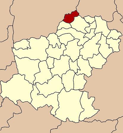
Map of Kaeng Sanam Nang District, Nakhon Ratchasima, Thailand
History
On January 7, 1986 the four tambon Kaeng Sanam Nang, Non Samran, Bueng Phalai and Si Suk were split off from Bua Yai district and created the minor district (King Amphoe) Kaeng Sanam Nang. The government officially upgraded it to a full district on October 20, 1993.
Geography
Neighboring districts are (from the north clockwise) Mueang Chaiyaphum and Khon Sawan of Chaiyaphum Province, Waeng Noi of Khon Kaen Province, Bua Yai and Ban Lueam of Nakhon Ratchasima Province.
Administration
The district is subdivided into 5 subdistricts (tambon). There are no municipal (thesaban) areas within the district.
References
Kaeng Sanam Nang District Wikipedia(Text) CC BY-SA