
Country Thailand Time zone ICT (UTC+7) Geocode 2208 Population 36,453 (2005) | Seat Kaeng Hang Maeo Postal code 22160 Area 1,254 km² Province Chanthaburi Province | |
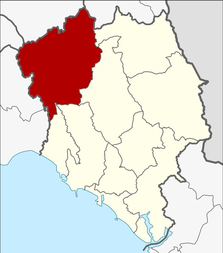 | ||
Kaeng Hang Maeo (Thai: แก่งหางแมว, [kɛ̀ŋ hǎːŋ mɛ̄ːw]) is the northwesternmost district (amphoe) of Chanthaburi Province, eastern Thailand.
Contents
Map of Kaeng Hang Maeo District, Chanthaburi 22160, Thailand
Geography
Neighboring districts are (from the east clockwise) Soi Dao, Khao Khitchakut, Tha Mai, Na Yai Am of Chanthaburi Province, Klaeng, Khao Chamao of Rayong Province, Bo Thong of Chonburi Province, Tha Takiap of Chachoengsao Province and Wang Sombun of Sa Kaeo Province.
History
The minor district (king amphoe) Kaeng Hang Maeo was established on 1 April 1990 by splitting off five tambon from Tha Mai district. It was upgraded to a full district on 8 September 1992.
Administration
The district is subdivided into 5 subdistricts (tambon), which are further subdivided into 62 villages (muban). There are no municipal (thesaban) areas, and further 5 tambon administrative organizations (TAO).