
Country Thailand Time zone ICT (UTC+7) Geocode 4402 Province Maha Sarakham Province | Seat Kae Dam Postal code 44190 Area 149.5 km² | |
 | ||
Similar Wat Pa Kung, Art in Paradise, Bang Namphueng Floating, Third Thai–Lao Friendshi, Kosamphi Forest Park | ||
Kae Dam (Thai: แกดำ) is a district (amphoe) in the east of Maha Sarakham Province, northeastern Thailand.
Contents
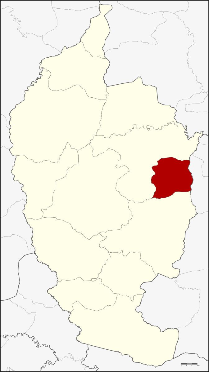
Map of Kae Dam District, Maha Sarakham, Thailand
Geography
Neighboring districts are (from the south clockwise) Wapi Pathum and Mueang Maha Sarakham of Maha Sarakham Province, and Si Somdet of Roi Et Province.
History
The minor district (king amphoe) was created on 3 January 1977, when the three tambon, Kae Dam, Nong Kung, and Mittraphap were split off from Mueang Maha Sarakham District. It was upgraded to a full district on 1 January 1988.
Administration
The district is divided into five sub-districts (tambon), which are further subdivided into 89 villages (muban). Kae Dam is a township (thesaban tambon) which covers parts of tambon Kae Dam. There are a further five tambon administrative organizations (TAO).
References
Kae Dam District Wikipedia(Text) CC BY-SA