
Time zone WAT (UTC+1) | ||
 | ||
Sen suleiman othman hunkuyi kaduna north fielding questions to newsmen after raising a motion fi
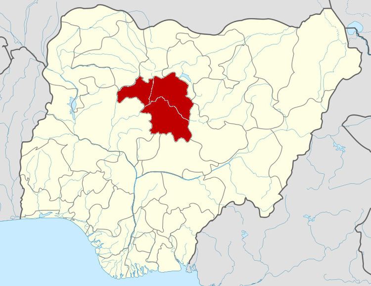
Kaduna North is a Local Government Area in Kaduna State, Nigeria. Its headquarters are in the town of Doka. It consist of the following settlements: Kawo, Hayin Banki, Rafin Guza, Unguwan Dosa, Badarawa, Malali, Unguwan Rimi, Unguwan Yero, Unguwan Kanawa, Unguwan Kanawa, Kabala, Abakpa, Unguwan Shanu, central business district (CBD)and Kwaru. It is bordered by Kaduna South,Igabi, and Chikun local government areas. It has a mixed population with Muslims and Hausas being dominant.
Contents
- Sen suleiman othman hunkuyi kaduna north fielding questions to newsmen after raising a motion fi
- Geology
- Weather and climate
- References
Geology
The entire Kaduna state is underlain by a basement complex of igneous and metamorphic rocks of manly Jurassic to Pre-Cambrian ages. The basement complex rocks are essentially granites, gneisses, migmatites, schists and quartzites (Benett,1979;13).The geology of Kaduna North id Predominantly metamorphic rocks of the Nigerian basement complex consisting of biotite gneisses and older granites (Kaduna State, 2003).
The topographical relief is relatively flat having an elevation of between 600–650metres in large areas of the local government, it is above 650 metres height above mean sea level (a.m.s.l) in some places and below 500metres that slopes downward towards the river (Saleh,2015).
Weather and climate
Kaduna North lies completely in the part of Western Africa, well within the northern limit of the movement of the inter tropical convergence zone (ICTZ). It is characterized by two distinct seasonal regimes, oscillating between cool to hot dry and humid to wet season.
Temperature:the mean maximum
It has an area of 72 km² and a population of 357,694 at the 2006 census.
The postal code of the area is 800.