PIN 509358 Local time Friday 8:33 PM | Time zone IST (UTC+5:30) Telephone code 08543 Area code 08543 | |
 | ||
Weather 29°C, Wind SW at 6 km/h, 41% Humidity | ||
Kadthal is a village and a Mandal in Ranga Reddy district in the state of Telangana in India.
Contents
- Map of Kadthal Telangana 509358
- Ride to waterfalls and kadthal pyramid v2k vlog 24
- Geography
- Nearby Villages
- Nearest Places
- Schools
- Colleges
- Banks Near By Kadthal
- References
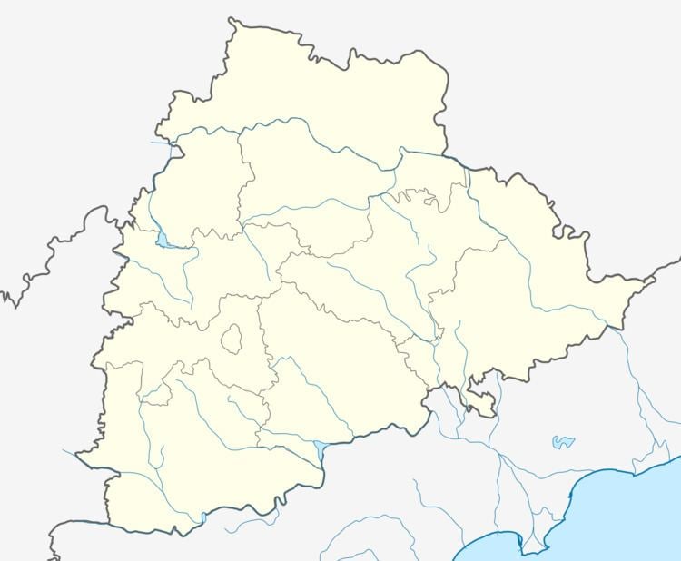
Map of Kadthal, Telangana 509358
Kadthal is located 14.86 km from its Mandal Main Town Amangal, 60.98 km from District Headquarters Mahbubnagar and 50 km from the state capital Hyderabad. It has a population of about 10581 persons living in around 2039 households. Telangana government has decided to make Kadthal as new mandal and this mandal will be part of newly forming Shamshabad (Rangareddy) district.
Ride to waterfalls and kadthal pyramid v2k vlog 24
Geography
Kadthal is 44 km from Hyderabad and located on Hyderabad to Srisailam Road.
Nearby Villages
The following are the villages along with this village in the same Amangal Mandal.
Nearest Places
- Maheshwara Maha Pyramid,Kadthal
- Misamma thalli
- Fortune Butterfly City
Schools
- Z.P.High School (E/M & T/M)
- Pragathi High School & Pragathi Talent School (E/M & T/M)
- Chaitanya Vidyalayam (E/M & T/M)
- New Chaitanya concept school(E/M)
- Kadthal Grammar school (E/M)
- Krishnaveni Talent School (E/M)
- Fortune Butterfly Senior Secondary School(E/M CBSE)
Colleges
- S.V.S Junior College 17324
- Sri Venkateshwara Swamamy Degree College
- New Brilliant JR College
Banks Near By Kadthal
- Canara Bank
- Andhra Bank
- Sangameshwara Grameena Bank
- State Bank of Hyderabad
References
Kadthal Wikipedia(Text) CC BY-SA
