
Time zone PST (UTC+5) | Region Punjab | |
 | ||
District | ||
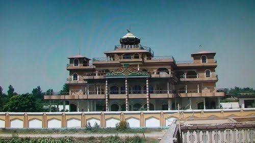
Kadhar is a village and union council of Mandi Bahauddin District in the Punjab province of Pakistan. It is located at an altitude of 203 metres (669 feet).
Contents
- Map of Kadhar Pakistan
- Some Nearby Villages
- Location and Development Status
- Estimated Population and Villages Under The Union Council
- References
Map of Kadhar, Pakistan
Some Nearby Villages
Some of the villages around Kadhar are Kakka, Makkay wal, Ratto wal, Katto wal, DERA MIAN SAHAB, Shammas Abad, Chhanni Raheem Shah, Kot Jaffar Shah, Mianwal Ranjha and Khamb Khurd.
Location and Development Status
Its district and tehsil is Mandi Bahauddin. It is situated about 2 kilometer away from Phalia Kuthialia Road in the southern side. If you travel from Phalia towards Kuthiala, you will arrive "College" first, then Channi Raheem shah, then Shammas Abad and at last "Kadhar Pull square" (now locally known as "Milaad Chowk")(N 32.26146 and E 73.29433) from where a link road leads to the village Kadhar.
From development point of view it is not well developed. There is only one boys high school, Government High School Kadhar situated N 32.25314 and E 73.29072 at an altitude of 643 feet. One Dehi Markaz e Sehat ( Rural Health Center) and 2 girls schools. Union Council Office is situated N 32.25448 and E 73.29143 at an altitude of 659 feet.
Estimated Population and Villages Under The Union Council
It houses 17,830 persons and covers the area of Kadhar itself, Channi Raheem Shah, Kot Jafar, Kakka and Khamb Khurd. These five villages are under the administration of this union council.