
PIN 628714 Population 4,379 (2001) | Time zone IST (UTC+5:30) Elevation 84 m Local time Friday 7:22 PM | |
 | ||
Weather 31°C, Wind SE at 11 km/h, 64% Humidity | ||
Kadambur hills
Kadambur is a panchayat town in Kovilpatti taluk of the Thoothukudi district in the Indian state of Tamil Nadu. The temples in and around Kadambur portray the authentic Chola art and architecture.
Contents
- Kadambur hills
- Map of Kadambur Tamil Nadu 628714
- Indian railways goc wdp3a in absolute rampage with trichy nellai intercity skips kadambur
- Geography
- Demographics
- Schools
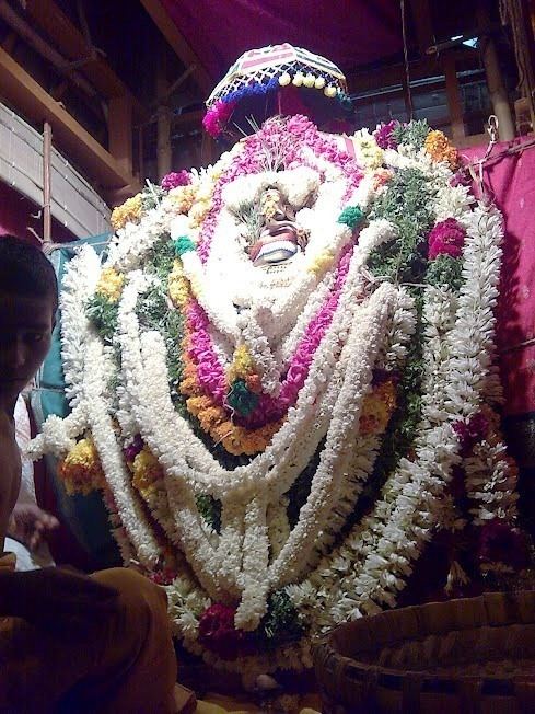
- Temples
- Transport
- Hospital
- Banks
- References
Map of Kadambur, Tamil Nadu 628714
Indian railways goc wdp3a in absolute rampage with trichy nellai intercity skips kadambur
Geography
Kadambur is located at 8.98°N 77.87°E / 8.98; 77.87. It has an average elevation of 84 metres (275 feet).
Demographics
As of 2001 India census, Kadambur had a population of 4379. Males constitute 49% of the population and females 51%. Kadambur has an average literacy rate of 68%, higher than the national average of 59.5%: male literacy is 76%, and female literacy is 61%. In Kadambur, 10% of the population is under 6 years of age.
Nearby villages include Kalugasalapuram, Chockalingapuram, Onamaakulam, Kallathikinaru, Malaipatti, Parivillikottai and Kollankinar.
Schools
Temples
Transport
Kadambur railway station lies in between Kovilpatti and Vanchi Maniyachchi Junction of the Southern Railway Zone of Indian Railways. Tuticorin Airport is the nearest domestic airport. Regular buses run from Kadambur bus station to Tuticorin, Kovilpatti, Idaiseval and several other places.
Private bus companies running from/to Kadambur include Selva Vinayagar Transport, SSP Transport, Periyaraja Transport and Veni Transport, Chepparai which links Tirunelveli, Tuticorin, Kovilpatti, Vilathikulam, Pasuvanthanai and other nearby villages.