
Vehicle registration KA | Time zone IST (UTC+5:30) Local time Friday 7:15 PM ISO 3166 code ISO 3166-2:IN | |
 | ||
Weather 27°C, Wind SW at 8 km/h, 54% Humidity | ||
Kadakola is a village in the southern state of Karnataka, India. It is located in the Mysore taluk of Mysore district.
Contents
- Map of Kadakola Karnataka 571311
- Demographics
- Schools
- Post office
- Transportation
- Villages and suburbs
- References
Map of Kadakola, Karnataka 571311
Demographics
As of 2001 India census, Kadakola had a population of 5327 with 2761 males and 2566 females.
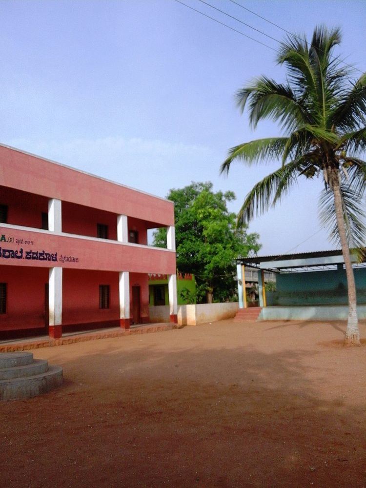
Schools
Post office
There is a post office at Kadakola and the pincode is 571311.
Transportation
There is a small railway station at Kadakola where only slow trains to Mysore and Chamarajanagar stop. This railway station is part of Mysore-Chamarajanagar branch line. Buses are available to Mysore city which is 14.7 kilometers away. The nearest airport is at Bangalore which is 175 km away.
Villages and suburbs
Thandavapura ( 3 KM ) , Sinduvalli ( 3 KM ) , Someshwarapura ( 4 KM ) , Devalapura ( 6 KM ) , Hosahundi ( 7 KM ) are the nearby Villages. Other nearby villages are Kongara, Nanjaianahundi, Beeregowdana hundi and Kardimarayana hundi.