
Country Uganda Sub-region Ankole sub-region Elevation 1,490 m University Ankole Western University | Region Western Uganda District Bushenyi District Local time Friday 3:44 PM | |
 | ||
Weather 23°C, Wind SE at 11 km/h, 64% Humidity | ||
Kabwohe is a town in the Western Region of Uganda. It is one of the municipalities in Sheema District.
Contents
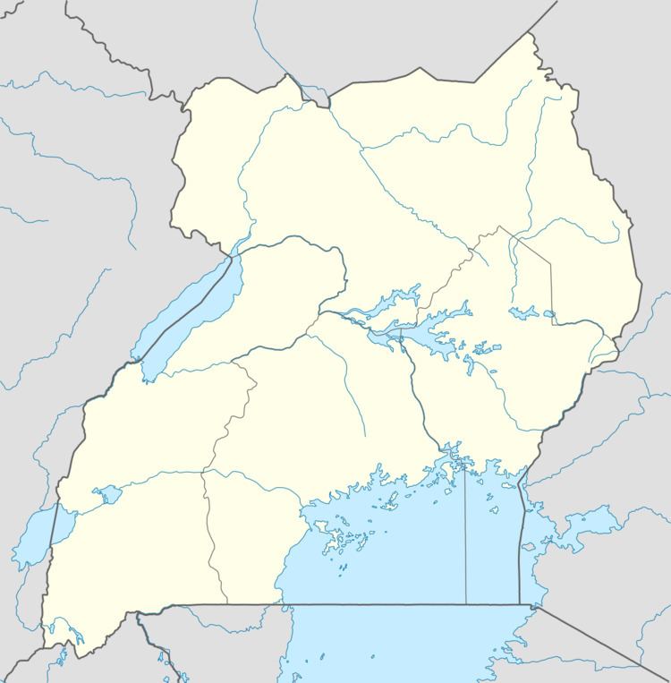
Map of Kabwohe, Uganda
Location
Kabwohe lies on the Mbarara–Ishaka Road, approximately 33 kilometres (21 mi), by road, west of Mbarara, the largest city in the sub-region. This is about 29 kilometres (18 mi) east of Ishaka. The coordinates of the town are: 0°34'49.0"S, 30°22'42.0"E (Latitude:-0.580267; Longitude:30.378333).
Overview
Kabwohe is a town in Sheema District. Together with the neighboring town of Itendero, it forms the Kabwohe-Itendero Metropolitan Area. It is the largest metropolitan area in the district. Ankole Western University, one of Uganda's private universities maintains its main campus within the town of Kabwohe.
Population
In 2002 the national census put the population of Kabwohe at 15,355. In 2010, the Uganda Bureau of Statistics (UBOS), estimated the population of the town at 18,000. In 2011, UBOS estimated the mid-year population of Kabwohe at 18,400 people. In 2014, the national population census put the population of Kabwohe at 20,300.
Points of interest
The following points of interest lie within the town limits or close to the edges of town: