Elevation 157 m Local time Friday 5:49 PM | Time zone IST (UTC+5:30) Population 21,000 (2001) | |
 | ||
Weather 31°C, Wind NW at 16 km/h, 20% Humidity | ||
Kabrai is a City and a nagar panchayat Shivpal tiwari is chairman of kabrai nagar panchayat(popular and powerful politician with huge people support.he is elected indepandent in both the terms 2007-2012,2012-2017)in Mahoba district in the Indian state of Uttar Pradesh in Bundelkhand Region. Kabrai is a City where main business is stone business. There are around 500 stone crushers in and around the town. Hindustan Construction Company has established a new crusher plant there. Kabrai is situated between Banda and Mahoba and well connected by NH 86 and 76 Kanpur Kabrai Road. Kabrai having a well known temple by the name of Kalshaha Baba behind the name also have story that one a person was tracking on hill and there was Kalash filled with gold rolling out to him and told him to collect it and also do some good work for poor people from that day temple name called Kalshah Baba. Kabrai also Connected with Railway Network Kabrai Railway Station is also there.
Contents
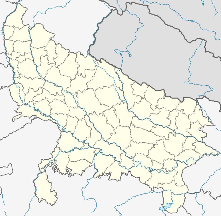
Map of Kabrai, Uttar Pradesh 210424
Geography
Kabrai is located at 25.42°N 80.02°E / 25.42; 80.02. It has an average elevation of 157 metres (515 feet).
Demographics
As of 2001 India census, Kabrai had a population of over 21000. Males constitute 54% of the population and females 46%. Kabrai has an average literacy rate of 48%, lower than the national average of 59.5%: male literacy is 59%, and female literacy is 34%. In Kabrai, 19% of the population is under 6 years of age.
