Postcode(s) 4702 Population 472 (2011) | Postal code 4702 Local time Friday 10:19 PM | |
 | ||
Weather 23°C, Wind NW at 8 km/h, 85% Humidity | ||
Kabra is a town and rural locality in the Rockhampton Region, Queensland, Australia. In the 2011 census, Kabra had a population of 472 people.
Contents
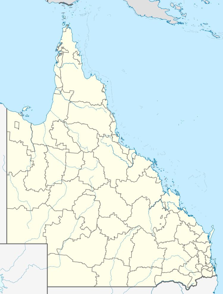
Map of Kabra QLD 4702, Australia
Geography
Kabra is located on the Capricorn Highway. Middle Creek passes through the town and Gracemere Creek passes through the rural part of the locality. The Kabra railway station in on the Central Western railway line from Rockhampton to Winton.
History
A post office was opened on 7 September 1887; it closed on 31 October 1977.
Land was reserved for a school in Kabra in July 1902 and the Kabra Provisional School opened on 29 October 1902. On 1 January 1909 it was upgraded to a State school. Due to falling enrolment numbers, the school closed on 23 February 1941; the last teacher was Harry Adolph Barke.
On 29 September 1917, an honour board was unveiled at the Kabra railway station, listing men from the district who served in World War I. It was 5 feet (1.5 m) high and 4 feet (1.2 m) wide and made of polished silky oak. When the railway station closed, the honour board was relocated to the Kabra Hotel where it is now displayed in the dining room.
Attractions
Kabra is a major waypoint on the National Bicentennial Trail.
