
Country Thailand Postal code 25110 Area 1,309 km² | Time zone ICT (UTC+7) Geocode 2502 Province Prachinburi Province | |
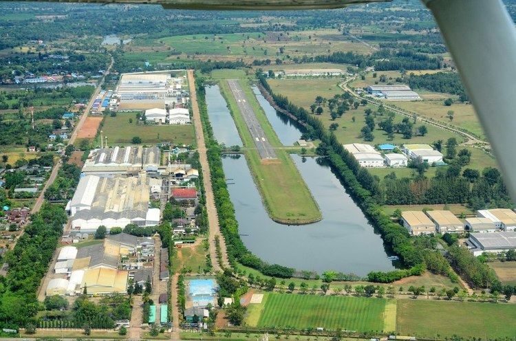 | ||
Kabin Buri (Thai: กบินทร์บุรี, [kā.bīn bū.rīː]) is a district (amphoe) in the southeastern part of Prachinburi Province, eastern Thailand.
Contents
Map of Kabin Buri District, Prachin Buri, Thailand
History
Mueang Kabin Buri was an ancient city of Ayutthaya kingdom. The city hall was in Ban Hanuman. In 1906 the city hall was moved to Ban Paknam, the area where the Hanuman and Phra Prong Rivers join together to become the Prachin Buri River. On 1 April 1926 the province was abolished and the two districts, Mueang Kabin Buri and Aranyapathret, became districts of Prachinburi Province.
Geography
Neighboring districts are (from the west clockwise) Si Maha Phot, Prachantakham, Na Di of Prachinburi Province, Mueang Sa Kaeo and Khao Chakan of Sa Kaeo Province and Sanam Chai Khet of Chachoengsao Province.
The important water resources are the Hanuman, Phra Prong, and Prachin Buri Rivers.
Highways
Administration
The district is divided into 14 sub-districts (tambon), which are further subdivided into 192 villages (muban). There are three townships (thesaban tambon) - Kabin covers parts of tambon Kabin, Mueang Kao covers parts of tambon Mueang Kao and Kabin, and Sa Bua parts of tambon Lat Takhian. There are a further 14 tambon administrative organizations (TAO).